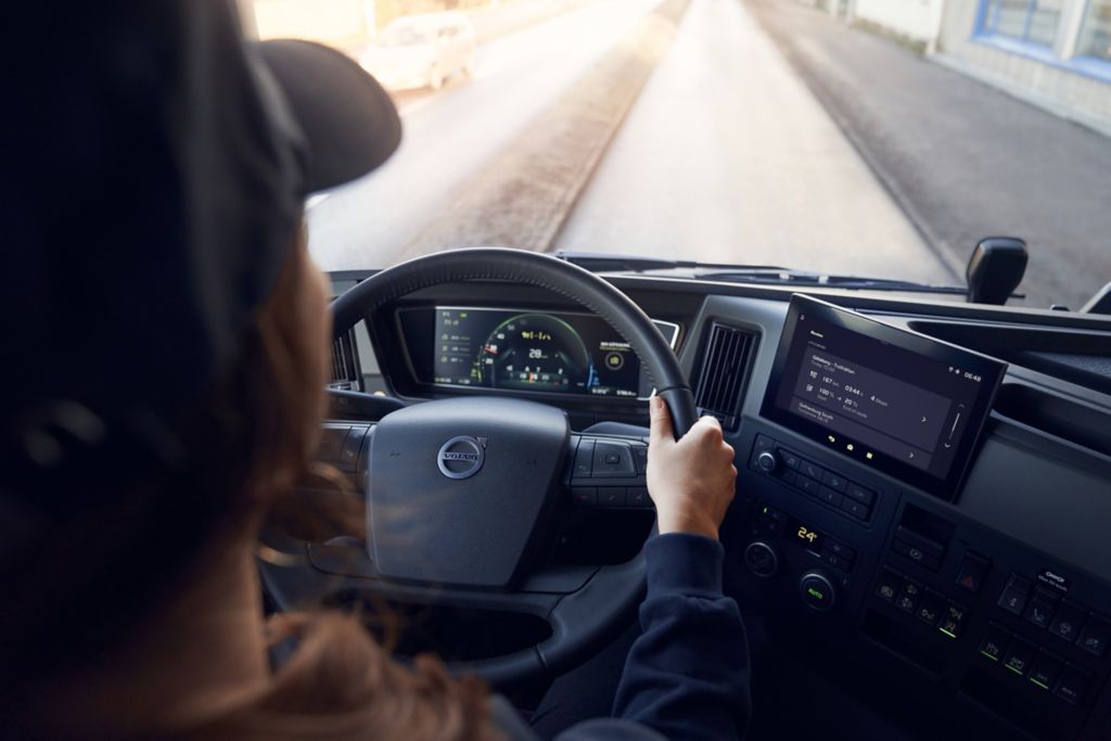
Each vehicle shown on a digital live map is updated in real time. That is the core offer of the positioning service in Volvo Connect and Renault Optifleet that are truck fleet management systems and gateways to the trucks digital services.
A platform for services
Volvo Connect and Renault Optifleet, both providing digital and connected services, are user-friendly portals where the positioning service is one of many offers.
The live map service provides a geographic overview in which different vehicle data can be included. Many services within positioning work independently of a live map but it is the combination which makes the offer so attractive to fleet managers.
With the positioning service fleet owners can view the location and activity of their vehicles on the map in the app, they can analyze trips and plan routes tailored to their vehicles for efficient transport operations. In addition, there is a service that gives them accurate arrival and departure notifications, and they can stay updated on traffic situations affecting transport operations.
Continually updated
With a subscription to the positioning service customers can add other services as well. The live map of the service is continually being updated to meet fleet owners’ needs. As a result of electrification of vehicles, charging stations are now being added to the maps to facilitate for the owners of Volvo electric trucks. The service also includes general and specific points of interest, such as liquefied natural gas (LNG) fuel stations and Volvo dealers. The customer can create and manage their own points of interest, such as locations for loading and unloading, for more efficient planning. With the positioning service, details of the vehicles’ historical positions and vehicle information together with driver status, are available on the map. They are also presented in the reporting tool for further analysis.
Facts: Positioning service
The positioning service maintained and developed by Volvo Group Connected Solutions is a core service on Volvo Connect and Renault Optifleet. The service offered is named differently for each business area and brand, but the core is the same. The most common use case is a dispatcher monitoring the fleet: Planning zones and routes and seeing the position of each vehicle in real time, as well as the status for each vehicle. The live map is one of the most used tools according to statistics.